Français
 Español
 Italiano
 Deutsch
 Português
 中文
 日本語
Africa, map of countries and surrounding seas
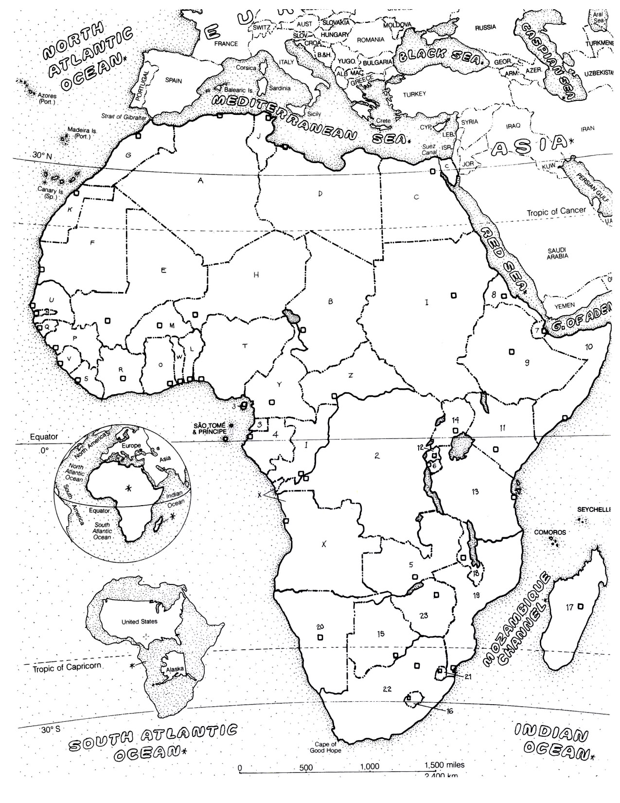
Map of the African continent showing national borders marked with letters and numbers, with small squares indicating notable points. The neighboring oceans and seas are labeled (Mediterranean Sea, Red Sea, Atlantic Ocean, Indian Ocean), along with latitude lines (equator, tropics).
Several islands and map insets complete the representation.
Photograph or scan your finished coloring: it joins the creations gallery under this drawing. Sign in or free account required.
You'll also like these Printable Africa coloring sheets for adults
Discover our Coloring pages inspired by Africa and by African Art . Do you know that this continent covers 20% of the Earth's total land area, and that 15% of the population (of humans) lives here ? When you think about Africa, you certainly imagine savage animals (from monkeys to elephants, and for sure the king : the lion !), jungle, traditions ...

Portrait of a woman with landscape

African Sorceress

Coloring page inspired by Serge Menandi

Coloring inspired by Esther Mahlangu

Young woman in an african village

African mask

The word "AFRICA" with beautiful and varied patterns to color

Safari in Africa: Walking majestic animals
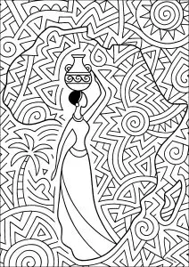
African woman, African continent and pretty patterns
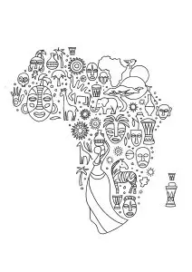
The African continent with its many symbols
50 Dreamcatcher coloring pages in one PDF
Dreamcatcher Coloring Book
- Exclusive illustrations, not on the free site
- A PDF you can print as often as you like
- Perfect for adults and enthusiasts
$3.90
Get the PDFInstant download · Secure payment



Share your coloring pages on our Facebook Group ADULT COLORING FANS
SPECIAL OFFER, FOR A LIMITED TIME!
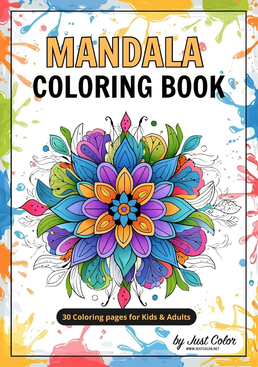
Get your FREE Mandala Coloring eBook
This eBook contains 30 incredible Mandala coloring pages